Geocoding Augmentation
This data source connector provides detailed data for locations specified by their names, addresses, or coordinates.
Configuration
Section titled “Configuration”Create a new configuration of the Geocoding Augmentation connector.
Augment Locations
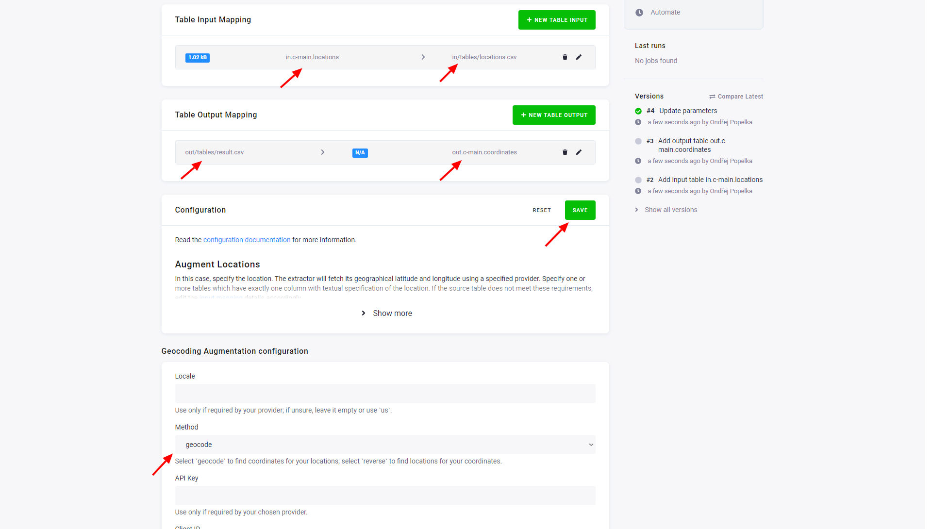
Section titled “Augment Locations”In this case, specify the location. The data source connector will fetch its geographical latitude and longitude using a specified provider. Specify one or more tables which have exactly one column with textual specification of the location. If the source table does not meet these requirements, edit the input mapping details accordingly.
You can test the extraction on this sample file.
Upload it to the in.c-main bucket in Storage first and call it locations.
Specify a single table in the output mapping
and select the geocode method in the configuration. You can use the openstreetmap provider for free.
(The names of the input and CSV files are arbitrary, and so are the names of the columns.)
Augment Coordinates
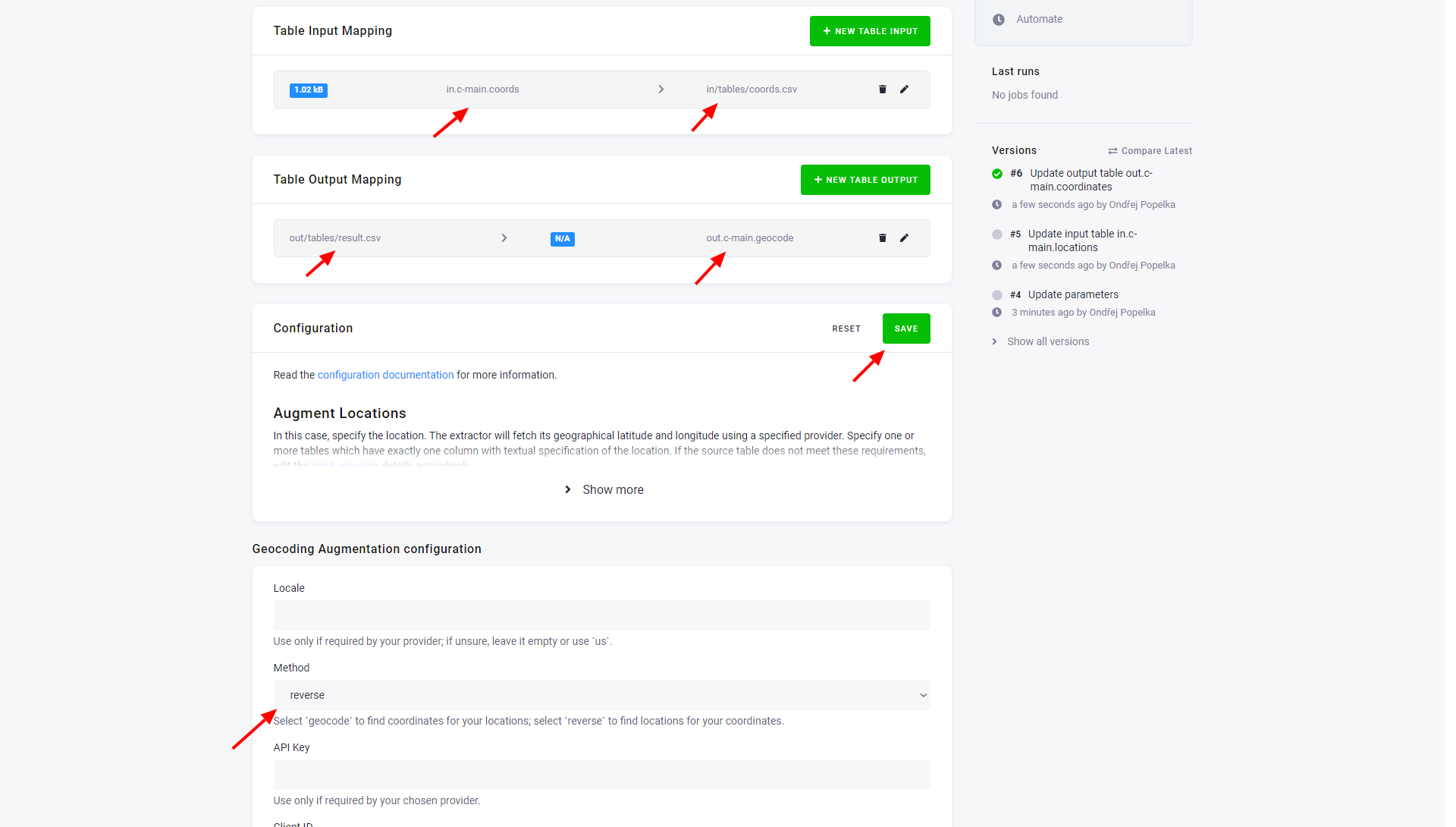
Section titled “Augment Coordinates”In this mode of operation, specify the geographical latitude and longitude. The connector will then fetch information about the closest place found on the map of the given provider. Specify one or more tables which have exactly two columns; the first column with a latitude, the second one with a longitude. If the source table does not meet these requirements, edit the input mapping details accordingly.
You can test the extraction on this sample file. Specify a single table in the output mapping, and select the reverse method in the configuration. (The names of the input and CSV files are arbitrary, so are the names of the columns.)
Providers
Section titled “Providers”In the component configuration, specify different providers of the location data. Usage limits and the result data may differ between various providers.
Some of the providers require the locale parameter to be set. If you are unsure, leave it empty or use us.
The following are the available providers that will be queried for the data:
- google_maps - Google Maps provider, needs parameter apiKey with your access key to the API (you need “Server” type of key).
- google_maps_business - Google Maps for Business provider, needs parameters clientId and privateKey.
- bing_maps - Bing Maps provider, needs attribute apiKey.
- yandex - Yandex provider, needs attribute apiKey; locale parameter may be one of these values: uk-UA, be-BY, en-US, en-BR, tr-TR.
- map_quest - MapQuest provider, needs parameter apiKey.
- tomtom - TomTom provider, needs parameter apiKey, parameter locale may have one of these values: de, es, fr, it, nl, pl, pt, sv.
- opencage: OpenCage provider, needs parameter apiKey.
- openstreetmap: OpenStreetMap provider, does not need any API key.